
Töreboda topographic map
Interactive map
Click on the map to display elevation.
About this map
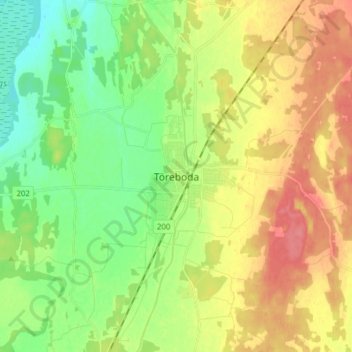
Name: Töreboda topographic map, elevation, terrain.
Location: Töreboda, Västra Götalands län, Götaland, 545 30, Zweden (58.66811 14.08397 58.74811 14.16397)
Average elevation: 97 m
Minimum elevation: 68 m
Maximum elevation: 132 m