
Province of Virú topographic map
Interactive map
Click on the map to display elevation.
About this map
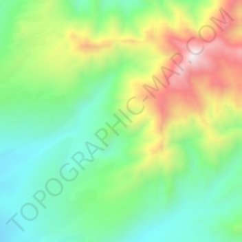
Name: Province of Virú topographic map, elevation, terrain.
Location: Province of Virú, Chao, Virú, La Libertad, Peru (-8.55239 -78.58703 -8.51239 -78.54703)
Average elevation: 606 m
Minimum elevation: 333 m
Maximum elevation: 1,077 m