
Haßfurt topographic map
Interactive map
Click on the map to display elevation.
About this map
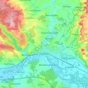
Name: Haßfurt topographic map, elevation, terrain.
Location: Haßfurt, Landkreis Haßberge, Bavaria, 97437, Germany (50.00081 10.42383 50.08478 10.57547)
Average elevation: 267 m
Minimum elevation: 215 m
Maximum elevation: 407 m