
Sero topographic map
Interactive map
Click on the map to display elevation.
About this map
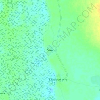
Name: Sero topographic map, elevation, terrain.
Location: Sero, Kayes Cercle, Kayes, Mali (14.77143 -11.10215 14.85143 -11.02215)
Average elevation: 54 m
Minimum elevation: 47 m
Maximum elevation: 70 m