
Scharten topographic map
Interactive map
Click on the map to display elevation.
About this map
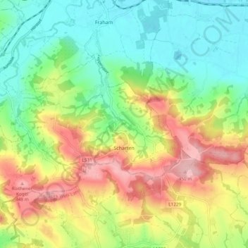
Name: Scharten topographic map, elevation, terrain.
Location: Scharten, Eferding, Upper Austria, 4612, Austria (48.23429 13.96563 48.28150 14.05953)
Average elevation: 340 m
Minimum elevation: 263 m
Maximum elevation: 457 m