
Hyden topographic map
Interactive map
Click on the map to display elevation.
About this map
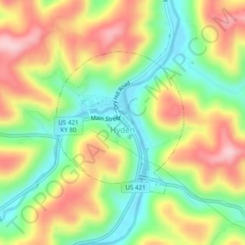
Name: Hyden topographic map, elevation, terrain.
Location: Hyden, Leslie County, Kentucky, United States (37.15386 -83.38243 37.16954 -83.36474)
Average elevation: 352 m
Minimum elevation: 252 m
Maximum elevation: 467 m