
Polly topographic map
Interactive map
Click on the map to display elevation.
About this map
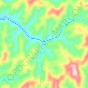
Name: Polly topographic map, elevation, terrain.
Location: Polly, Letcher County, Kentucky, 41855, USA (37.18093 -82.84655 37.22093 -82.80655)
Average elevation: 477 m
Minimum elevation: 352 m
Maximum elevation: 666 m