
Kearney topographic map
Interactive map
Click on the map to display elevation.
About this map
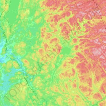
Name: Kearney topographic map, elevation, terrain.
Location: Kearney, Parry Sound District, Ontario, P0A 1M0, Canada (45.46979 -79.30115 45.76905 -78.93048)
Average elevation: 388 m
Minimum elevation: 281 m
Maximum elevation: 541 m