
Llwydcoed topographic map
Interactive map
Click on the map to display elevation.
About this map
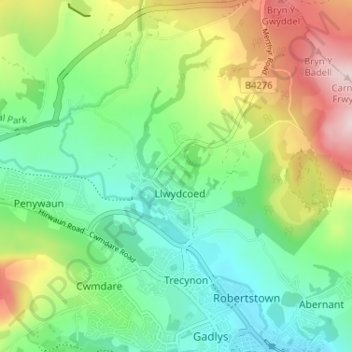
Name: Llwydcoed topographic map, elevation, terrain.
Location: Llwydcoed, Rhondda Cynon Taf, Wales, CF44 0TR, United Kingdom (51.71384 -3.47944 51.75384 -3.43944)
Average elevation: 231 m
Minimum elevation: 123 m
Maximum elevation: 435 m