
Glasgow Road topographic map
Interactive map
Click on the map to display elevation.
About this map
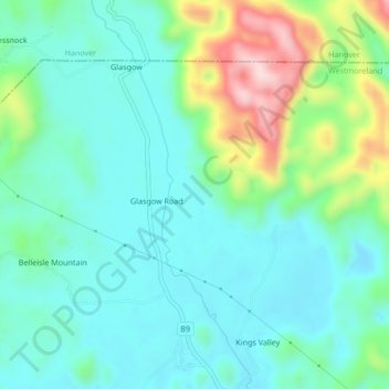
Name: Glasgow Road topographic map, elevation, terrain.
Location: Glasgow Road, Westmoreland, Cornwall County, Jamaica (18.32393 -78.21719 18.36393 -78.17719)
Average elevation: 96 m
Minimum elevation: 18 m
Maximum elevation: 327 m