
Tangerhütte topographic map
Interactive map
Click on the map to display elevation.
About this map
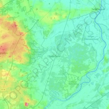
Name: Tangerhütte topographic map, elevation, terrain.
Location: Tangerhütte, Stendal, Saxony-Anhalt, Germany (52.33164 11.58734 52.54345 12.00235)
Average elevation: 53 m
Minimum elevation: 25 m
Maximum elevation: 171 m