
Kolno topographic map
Interactive map
Click on the map to display elevation.
About this map
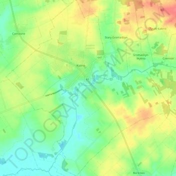
Name: Kolno topographic map, elevation, terrain.
Location: Kolno, Kolno County, Podlaskie Voivodeship, 18-500, Poland (53.36635 21.88039 53.43732 21.99189)
Average elevation: 128 m
Minimum elevation: 103 m
Maximum elevation: 162 m