
Piątnica topographic map
Interactive map
Click on the map to display elevation.
About this map
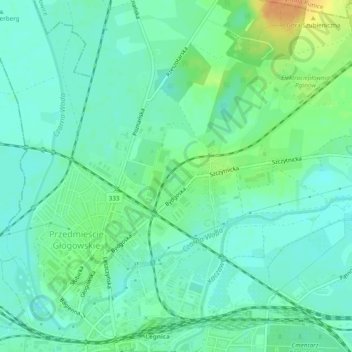
Name: Piątnica topographic map, elevation, terrain.
Location: Piątnica, Legnica, Lower Silesian Voivodeship, Poland (51.21205 16.15844 51.22372 16.18609)
Average elevation: 121 m
Minimum elevation: 111 m
Maximum elevation: 131 m
Other topographic maps
Click on a map to view its topography, its elevation and its terrain.
Legnica
Poland > Lower Silesian Voivodeship > Legnica
Legnica, Lower Silesian Voivodeship, Poland
Average elevation: 128 m