
Pertain topographic map
Interactive map
Click on the map to display elevation.
About this map
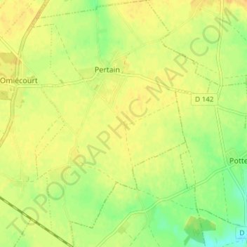
Name: Pertain topographic map, elevation, terrain.
Average elevation: 84 m
Minimum elevation: 67 m
Maximum elevation: 94 m
Other topographic maps
Click on a map to view its topography, its elevation and its terrain.
Berseaucourt
France > Hauts-de-France > Somme > Hypercourt
Berseaucourt, Pertain, Hypercourt, Péronne, Somme, Hauts-de-France, France métropolitaine, 80320, France
Average elevation: 85 m