
Creston topographic map
Interactive map
Click on the map to display elevation.
About this map
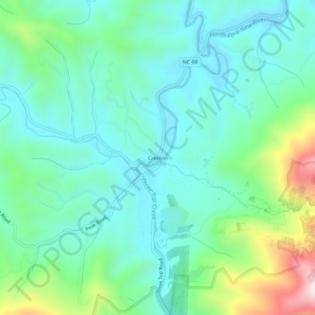
Name: Creston topographic map, elevation, terrain.
Location: Creston, Ashe County, North Carolina, 28615, United States (36.40790 -81.64372 36.44790 -81.60372)
Average elevation: 988 m
Minimum elevation: 851 m
Maximum elevation: 1,358 m