
Andover topographic map
Interactive map
Click on the map to display elevation.
About this map
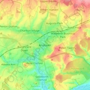
Name: Andover topographic map, elevation, terrain.
Location: Andover, Hampshire, South East, England, SP10, United Kingdom (51.16783 -1.51936 51.24783 -1.43936)
Average elevation: 87 m
Minimum elevation: 43 m
Maximum elevation: 141 m