
Kabal topographic map
Interactive map
Click on the map to display elevation.
About this map
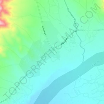
Name: Kabal topographic map, elevation, terrain.
Location: Kabal, Swāt District, Khyber Pakhtunkhwa, Pakistan (34.77169 72.26789 34.81169 72.30789)
Average elevation: 913 m
Minimum elevation: 863 m
Maximum elevation: 1,104 m