
Daarle topographic map
Interactive map
Click on the map to display elevation.
About this map
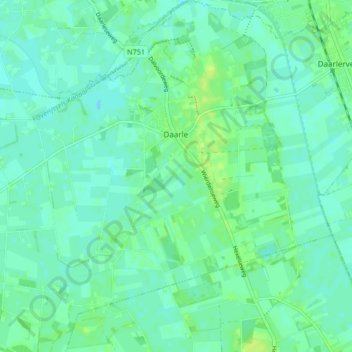
Name: Daarle topographic map, elevation, terrain.
Location: Daarle, Hellendoorn, Overijssel, Netherlands (52.40067 6.49818 52.45123 6.57595)
Average elevation: 9 m
Minimum elevation: 4 m
Maximum elevation: 16 m