
West Whately topographic map
Interactive map
Click on the map to display elevation.
About this map
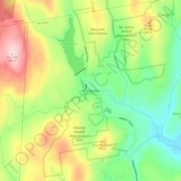
Name: West Whately topographic map, elevation, terrain.
Location: West Whately, Franklin, Massachusetts, 01098, USA (42.41779 -72.70209 42.45779 -72.66209)
Average elevation: 233 m
Minimum elevation: 105 m
Maximum elevation: 393 m