
Auburn topographic map
Interactive map
Click on the map to display elevation.
About this map
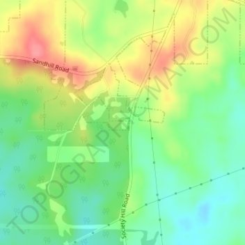
Name: Auburn topographic map, elevation, terrain.
Location: Auburn, Lee County, Alabama, USA (32.52616 -85.43811 32.52748 -85.43571)
Average elevation: 165 m
Minimum elevation: 131 m
Maximum elevation: 210 m