
Hillevåg topographic map
Interactive map
Click on the map to display elevation.
About this map
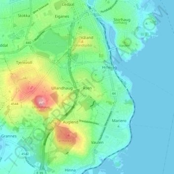
Name: Hillevåg topographic map, elevation, terrain.
Location: Hillevåg, Stavanger, Rogaland, Norway (58.93232 5.68669 58.95732 5.77836)
Average elevation: 31 m
Minimum elevation: -1 m
Maximum elevation: 131 m
Other topographic maps
Click on a map to view its topography, its elevation and its terrain.