
جبل مسلماني topographic map
Interactive map
Click on the map to display elevation.
About this map
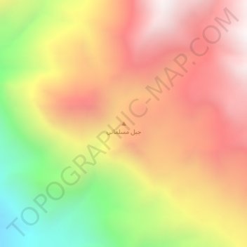
Name: جبل مسلماني topographic map, elevation, terrain.
Location: جبل مسلماني, چۆمان, هەولێر, هەرێمی کوردستان, Iraq (36.74404 44.94794 36.74414 44.94804)
Average elevation: 2,571 m
Minimum elevation: 1,830 m
Maximum elevation: 3,125 m
Other topographic maps
Click on a map to view its topography, its elevation and its terrain.
تاسڵوجە
Iraq > هەرێمی کوردستان > تاسڵوجە
تاسڵوجە, السليمانية, هەرێمی کوردستان, Iraq
Average elevation: 930 m