
Harrison topographic map
Interactive map
Click on the map to display elevation.
About this map
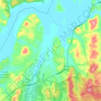
Name: Harrison topographic map, elevation, terrain.
Location: Harrison, Hamilton County, Tennessee, USA (35.10086 -85.18709 35.15428 -85.11007)
Average elevation: 235 m
Minimum elevation: 200 m
Maximum elevation: 319 m