
Зади topographic map
Interactive map
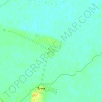
Click on the map to display elevation.
About this map
Name: Зади topographic map, elevation, terrain.
Location: Зади, Дрогобицький район, Oblast de Lviv, 82132, Ukraine (49.47546 23.63269 49.51546 23.67269)
Average elevation: 261 m
Minimum elevation: 256 m
Maximum elevation: 276 m