
Calumet topographic map
Interactive map
Click on the map to display elevation.
About this map
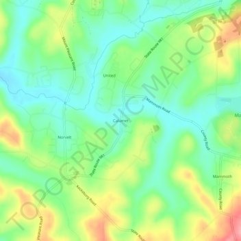
Name: Calumet topographic map, elevation, terrain.
Location: Calumet, Westmoreland County, Pennsylvania, 15621, USA (40.19090 -79.50532 40.23090 -79.46532)
Average elevation: 330 m
Minimum elevation: 290 m
Maximum elevation: 399 m