
Ommi topographic map
Interactive map
Click on the map to display elevation.
About this map
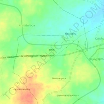
Name: Ommi topographic map, elevation, terrain.
Location: Ommi, Srikakulam, Andhra Pradesh, India (18.43243 83.58210 18.47243 83.62210)
Average elevation: 99 m
Minimum elevation: 79 m
Maximum elevation: 124 m