
Roch topographic map
Interactive map
Click on the map to display elevation.
About this map
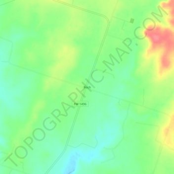
Name: Roch topographic map, elevation, terrain.
Location: Roch, Comanche County, Texas, 76468, United States (32.00403 -98.47505 32.04403 -98.43505)
Average elevation: 384 m
Minimum elevation: 357 m
Maximum elevation: 426 m