
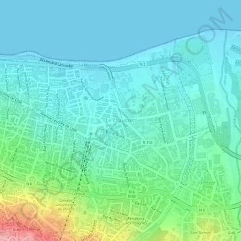
Le Chaudron topographic map
Interactive map
Click on the map to display elevation.
About this map
Name: Le Chaudron topographic map, elevation, terrain.
Location: Le Chaudron, Saint-Denis, Réunion, Frankreich (-20.90151 55.47984 -20.88355 55.49931)
Average elevation: 36 m
Minimum elevation: 0 m
Maximum elevation: 156 m