
Parc du Voyageur topographic map
Interactive map
Click on the map to display elevation.
About this map
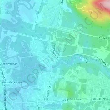
Name: Parc du Voyageur topographic map, elevation, terrain.
Average elevation: 226 m
Minimum elevation: 193 m
Maximum elevation: 435 m
Other topographic maps
Click on a map to view its topography, its elevation and its terrain.
Lac-Maskinongé
Canada > Québec > Mont-Tremblant
Lac-Maskinongé, Mont-Tremblant, Les Laurentides, Laurentides, Québec, J8E 2X8, Canada
Average elevation: 220 m
Lac-Duhamel
Canada > Québec > Mont-Tremblant
Lac-Duhamel, Mont-Tremblant, Les Laurentides, Laurentides, Québec, J8E 2Y2, Canada
Average elevation: 305 m
Parc du Centenaire
Canada > Québec > Mont-Tremblant
Parc du Centenaire, Station Saint-Jovite, Mont-Tremblant, Les Laurentides, Laurentides, Québec, Canada
Average elevation: 234 m