
Keith topographic map
Interactive map
Click on the map to display elevation.
About this map
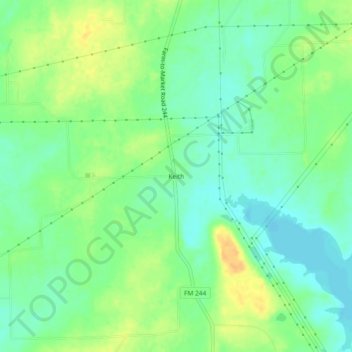
Name: Keith topographic map, elevation, terrain.
Location: Keith, Grimes County, Texas, 77861, USA (30.62520 -96.12135 30.66520 -96.08135)
Average elevation: 86 m
Minimum elevation: 73 m
Maximum elevation: 104 m