
Aspermont topographic map
Interactive map
Click on the map to display elevation.
About this map
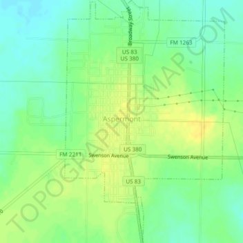
Name: Aspermont topographic map, elevation, terrain.
Location: Aspermont, Stonewall County, Texas, 79502, United States (33.12225 -100.23747 33.15348 -100.21289)
Average elevation: 539 m
Minimum elevation: 527 m
Maximum elevation: 549 m