
Musha topographic map
Interactive map
Click on the map to display elevation.
About this map
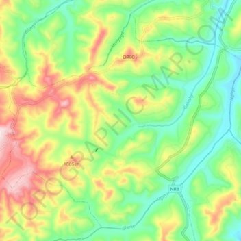
Name: Musha topographic map, elevation, terrain.
Location: Musha, Gisagara, Southern Province, Rwanda (-2.56177 29.79660 -2.48345 29.88681)
Average elevation: 1,532 m
Minimum elevation: 1,381 m
Maximum elevation: 1,769 m