
Estancia Belen topographic map
Interactive map
Click on the map to display elevation.
About this map
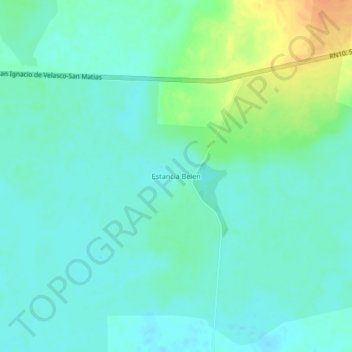
Name: Estancia Belen topographic map, elevation, terrain.
Location: Estancia Belen, Provincia Ángel Sandóval, SCZ, Bolivia (-16.40581 -58.57892 -16.36581 -58.53892)
Average elevation: 114 m
Minimum elevation: 104 m
Maximum elevation: 139 m