
Shama topographic map
Interactive map
Click on the map to display elevation.
About this map
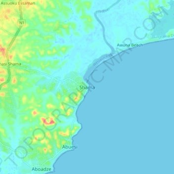
Name: Shama topographic map, elevation, terrain.
Location: Shama, Shama District, Western Region, Ghana (4.97029 -1.66898 5.05029 -1.58898)
Average elevation: 8 m
Minimum elevation: -1 m
Maximum elevation: 56 m