
Brandenburg topographic map
Interactive map
Click on the map to display elevation.
About this map
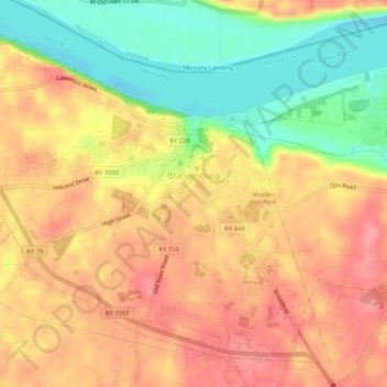
Name: Brandenburg topographic map, elevation, terrain.
Location: Brandenburg, Meade County, Kentucky, USA (37.97907 -86.20292 38.01498 -86.15105)
Average elevation: 168 m
Minimum elevation: 114 m
Maximum elevation: 206 m