

Sleaford topographic map
Click on the map to display elevation.
Sleaford
Although largely undamaged in the First and Second World Wars, Sleaford has close links with the Royal Air Force due to its proximity to several RAF bases, including RAF Cranwell and RAF Waddington. Lincolnshire's topography—flat and open countryside—and its location on the east of the country made it ideal for the development of Britain's airfields, constructed in the First World War. Work began on Cranwell in late 1915; it was designated an RAF base in 1918 and the RAF College opened in 1920 as the world's first air academy. The Cranwell branch railway linking Sleaford station to the RAF base opened in 1917 and closed in 1956. During the Second World War, Lincolnshire was "the most significant location for bomber command" and Rauceby Hospital, south-west of Sleaford, was requisitioned by the RAF as a specialist burns unit which plastic surgeon Archibald McIndoe regularly visited.
About this map
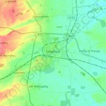
Name: Sleaford topographic map, elevation, terrain.
Average elevation: 21 m
Minimum elevation: 2 m
Maximum elevation: 67 m
England trails, hiking, mountain biking, running and outdoor activities