
Lingfield topographic map
Interactive map
Click on the map to display elevation.
About this map
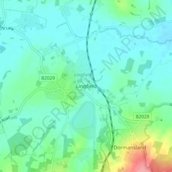
Name: Lingfield topographic map, elevation, terrain.
Location: Lingfield, Surrey, South East, England, RH7 6JD, United Kingdom (51.15558 -0.03017 51.19558 0.00983)
Average elevation: 61 m
Minimum elevation: 42 m
Maximum elevation: 135 m
England trails, hiking, mountain biking, running and outdoor activities