
Mars Hill topographic map
Interactive map
Click on the map to display elevation.
About this map
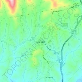
Name: Mars Hill topographic map, elevation, terrain.
Location: Mars Hill, Madison County, North Carolina, USA (35.80834 -82.56359 35.84626 -82.51754)
Average elevation: 709 m
Minimum elevation: 637 m
Maximum elevation: 929 m