
Eastry topographic map
Interactive map
Click on the map to display elevation.
About this map
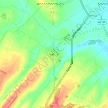
Name: Eastry topographic map, elevation, terrain.
Location: Eastry, Kent, South East, England, CT13 0HD, United Kingdom (51.22718 1.28760 51.26718 1.32760)
Average elevation: 23 m
Minimum elevation: -1 m
Maximum elevation: 59 m