
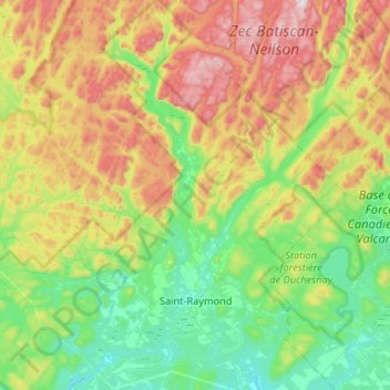
Saint-Raymond topographic map
Interactive map
Click on the map to display elevation.
About this map
Name: Saint-Raymond topographic map, elevation, terrain.
Location: Saint-Raymond, Portneuf, Capitale-Nationale, Québec, Canada (46.80608 -72.11688 47.16465 -71.63271)
Average elevation: 350 m
Minimum elevation: 102 m
Maximum elevation: 857 m
Other topographic maps
Click on a map to view its topography, its elevation and its terrain.
Rivière-à-Pierre
Canada > Québec > Portneuf > Rivière-à-Pierre
Rivière-à-Pierre, Portneuf, Capitale-Nationale, Québec, G0A 3A0, Canada
Average elevation: 346 m