
Burgess Hill topographic map
Interactive map
Click on the map to display elevation.
About this map
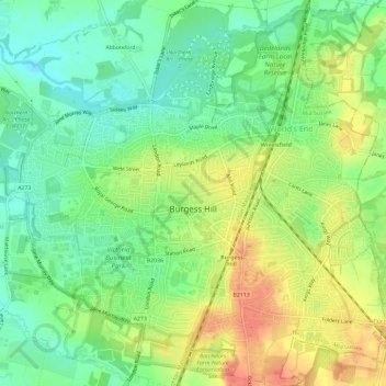
Name: Burgess Hill topographic map, elevation, terrain.
Location: Burgess Hill, West Sussex, South East, England, United Kingdom (50.94058 -0.15951 50.97741 -0.10610)
Average elevation: 40 m
Minimum elevation: 16 m
Maximum elevation: 70 m
England trails, hiking, mountain biking, running and outdoor activities