
Coxheath topographic map
Interactive map
Click on the map to display elevation.
About this map
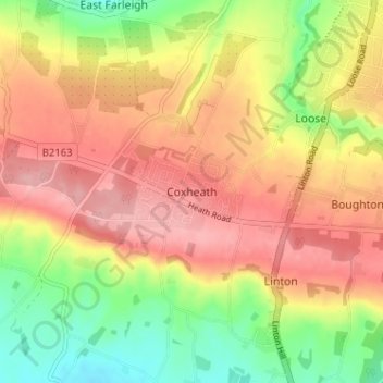
Name: Coxheath topographic map, elevation, terrain.
Location: Coxheath, Kent, South East, England, ME17 4EX, United Kingdom (51.21347 0.47694 51.25347 0.51694)
Average elevation: 80 m
Minimum elevation: 13 m
Maximum elevation: 134 m