
Bauxite topographic map
Interactive map
Click on the map to display elevation.
About this map
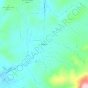
Name: Bauxite topographic map, elevation, terrain.
Location: Bauxite, Cherokee County, Alabama, United States (34.02732 -85.47968 34.06732 -85.43968)
Average elevation: 295 m
Minimum elevation: 228 m
Maximum elevation: 566 m