
Deam Lake topographic map
Interactive map
Click on the map to display elevation.
About this map
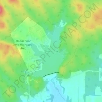
Name: Deam Lake topographic map, elevation, terrain.
Location: Deam Lake, Trail 3, Carwood, Clark County, Indiana, USA (38.46350 -85.86706 38.47733 -85.85214)
Average elevation: 179 m
Minimum elevation: 149 m
Maximum elevation: 230 m