
Agaléga topographic map
Interactive map
Click on the map to display elevation.
About this map
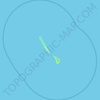
Name: Agaléga topographic map, elevation, terrain.
Location: Agaléga, Outer islands of Mauritius, Mauritius (-10.69000 56.38252 -10.13800 56.90768)
Average elevation: 0 m
Minimum elevation: -2 m
Maximum elevation: 15 m