
Condon topographic map
Interactive map
Click on the map to display elevation.
About this map
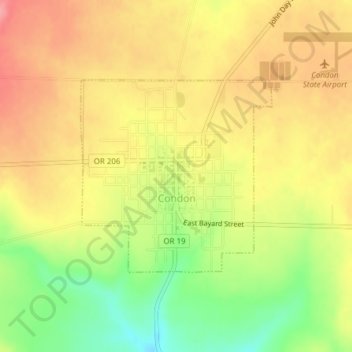
Name: Condon topographic map, elevation, terrain.
Location: Condon, Gilliam County, Oregon, United States (45.22849 -120.19520 45.24326 -120.17435)
Average elevation: 871 m
Minimum elevation: 815 m
Maximum elevation: 912 m