
Kokoda District topographic map
Interactive map
Click on the map to display elevation.
About this map
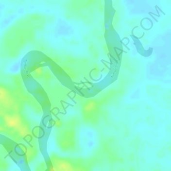
Name: Kokoda District topographic map, elevation, terrain.
Location: Kokoda District, Oro, Papua Region, Papua New Guinea (-8.50691 148.00631 -8.50605 148.00874)
Average elevation: 17 m
Minimum elevation: 10 m
Maximum elevation: 30 m
Other topographic maps
Click on a map to view its topography, its elevation and its terrain.