
Steendorp topographic map
Interactive map
Click on the map to display elevation.
About this map
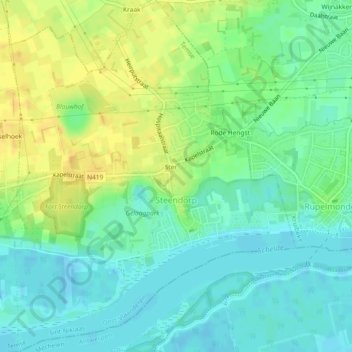
Name: Steendorp topographic map, elevation, terrain.
Location: Steendorp, Temse, Sint-Niklaas, East Flanders, Flanders, Belgium (51.11517 4.24832 51.14418 4.28592)
Average elevation: 12 m
Minimum elevation: -2 m
Maximum elevation: 27 m
Other topographic maps
Click on a map to view its topography, its elevation and its terrain.
Temse
Belgium > East Flanders > Sint-Niklaas > Temse
Temse, Sint-Niklaas, East Flanders, Flanders, 9140, Belgium
Average elevation: 12 m