
Akeley topographic map
Interactive map
Click on the map to display elevation.
About this map
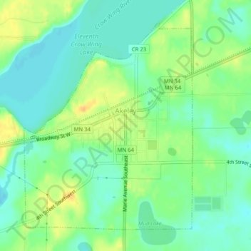
Name: Akeley topographic map, elevation, terrain.
Location: Akeley, Hubbard County, Minnesota, United States (46.99140 -94.74300 47.01376 -94.71644)
Average elevation: 431 m
Minimum elevation: 419 m
Maximum elevation: 448 m
Other topographic maps
Click on a map to view its topography, its elevation and its terrain.
Hubbard County
United States > Minnesota > Hubbard County
Hubbard County, Minnesota, United States
Average elevation: 445 m