
Thanchi topographic map
Interactive map
Click on the map to display elevation.
About this map
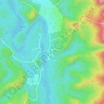
Name: Thanchi topographic map, elevation, terrain.
Location: Thanchi, Bandarban District, Chattogram Division, Bangladesh (21.81358 92.43734 21.81855 92.44110)
Average elevation: 75 m
Minimum elevation: 24 m
Maximum elevation: 189 m